

Space Science & Technology | 21st November 2026
European scientists have demonstrated how a new satellite radar system can detect signs of deformation beneath Antarctica's icy surface, potentially improving our understanding of how the continent's enormous ice sheets move.
Researchers from the German Aerospace Center (DLR) presented their findings on 20th November, using observations from the European Space Agency's BIOMASS satellite.
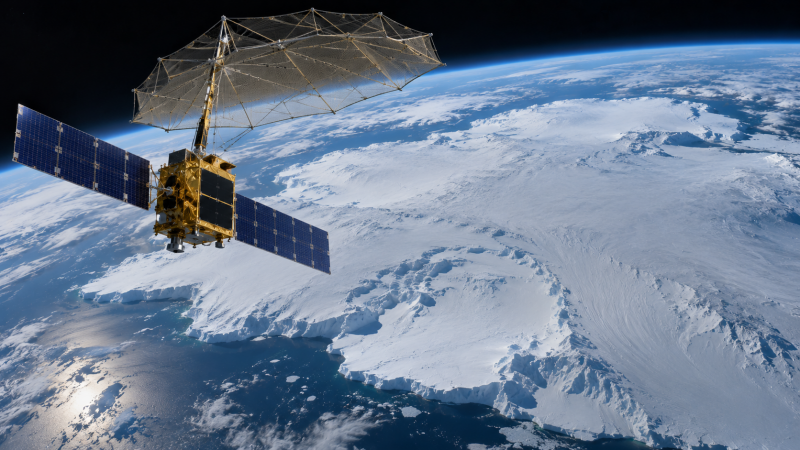
The spacecraft carries the first P-band synthetic aperture radar deployed in space, allowing it to investigate structures that conventional satellite imaging cannot easily detect.
Looking Beneath the Ice
Unlike optical cameras, radar instruments transmit radio waves and measure the signals reflected towards the spacecraft.
BIOMASS operates at wavelengths of approximately 70 centimetres, considerably longer than those used by many existing radar satellites.
These longer wavelengths can penetrate dry snow and ice, allowing scientists to investigate structures beneath the visible surface.
Researchers examined observations collected in November 2025 over the Riiser-Larsen Ice Shelf and Lyddan Ice Rise in Antarctica.
The area contains regions where moving ice encounters a relatively stationary obstacle, forcing the surrounding ice to change direction and deform.
Detecting Hidden Deformation
The scientists compared BIOMASS measurements with airborne radar observations capable of revealing internal layers within the ice.
In relatively undisturbed areas, these layers appeared continuous and orderly. Closer to regions experiencing deformation, they became increasingly tilted, folded and disrupted.
The satellite recorded corresponding changes in the way radar signals were scattered, suggesting that its measurements could help identify differences in the internal structure of the ice.
Researchers found that the observed radar patterns were more consistent with deformation-related changes in the organisation of the ice than with changes in the average tilt of its internal layers alone.
The findings demonstrate the potential of long-wavelength radar for investigating Antarctic ice structures from orbit, although further research is required to establish how reliably these signals can be interpreted.
A European Mission with Wider Applications
Launched in April 2025, BIOMASS was primarily developed to measure the amount of carbon stored in the world's forests.
Its radar can penetrate forest canopies, helping scientists estimate the distribution of woody vegetation and improve understanding of the global carbon cycle.
However, the same technology offers additional opportunities for studying glaciers, ice sheets and geological structures beneath dry desert surfaces.
In Antarctica, researchers hope the satellite's extensive coverage could eventually help identify deformation zones and boundaries between regions of ice moving at different speeds.
Such information could improve scientific understanding of ice-sheet behaviour and the processes influencing its stability.
Further Research Required
The latest findings remain preliminary, with the associated scientific paper undergoing review.
Researchers have not established that BIOMASS can directly map every internal ice layer or independently measure all forms of subsurface deformation.
Nevertheless, the observations demonstrate another potential application for European radar technology.
By combining satellite measurements with airborne observations and computer modelling, scientists are developing new methods of examining environments that are difficult to investigate directly.
The research could eventually provide a more detailed picture of how Antarctica's ice behaves beneath the surface, supporting wider efforts to understand changes affecting the continent.